
Corton topographic map
Interactive map
Click on the map to display elevation.
About this map
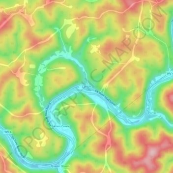
Name: Corton topographic map, elevation, terrain.
Location: Corton, Kanawha County, West Virginia, United States (38.46954 -81.29539 38.50954 -81.25539)
Average elevation: 281 m
Minimum elevation: 179 m
Maximum elevation: 390 m