
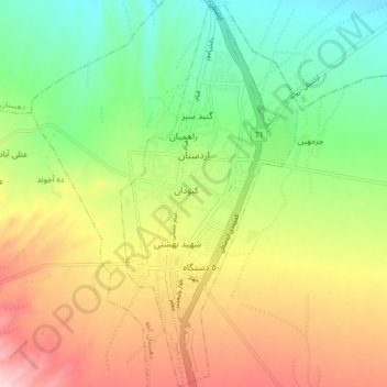
Ardestan topographic map
Interactive map
Click on the map to display elevation.
About this map
Name: Ardestan topographic map, elevation, terrain.
Average elevation: 1,217 m
Minimum elevation: 1,113 m
Maximum elevation: 1,355 m
Other topographic maps
Click on a map to view its topography, its elevation and its terrain.
Ardestan
Iran > Isfahan Province > Ardestan County > Ardestan
Ardestan, بخش مرکزی شهرستان اردستان, Ardestan County, Isfahan Province, Iran
Average elevation: 1,214 m