
Chama topographic map
Interactive map
Click on the map to display elevation.
About this map
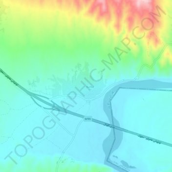
Name: Chama topographic map, elevation, terrain.
Location: Chama, Aqrah District, Dohuk, Iraqi Kurdistan, Iraq (36.49106 43.81883 36.53106 43.85883)
Average elevation: 345 m
Minimum elevation: 290 m
Maximum elevation: 513 m