
Kalagi topographic map
Interactive map
Click on the map to display elevation.
About this map
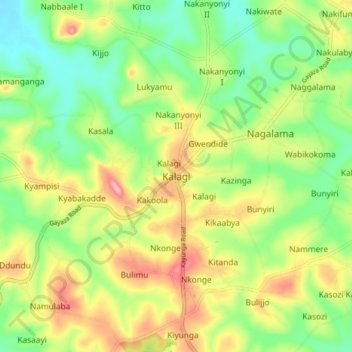
Name: Kalagi topographic map, elevation, terrain.
Location: Kalagi, Mukono, Central Region, Uganda (0.46386 32.70954 0.54386 32.78954)
Average elevation: 1,147 m
Minimum elevation: 1,091 m
Maximum elevation: 1,224 m