
Dorkwerd topographic map
Interactive map
Click on the map to display elevation.
About this map
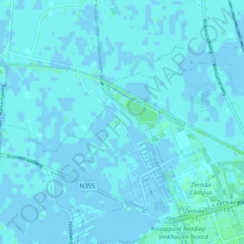
Name: Dorkwerd topographic map, elevation, terrain.
Location: Dorkwerd, Groningen, Nederland, 9746, Nederland (53.23042 6.49382 53.27042 6.53382)
Average elevation: 1 m
Minimum elevation: -4 m
Maximum elevation: 5 m