
Turnu Măgurele topographic map
Interactive map
Click on the map to display elevation.
About this map
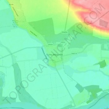
Name: Turnu Măgurele topographic map, elevation, terrain.
Location: Turnu Măgurele, Teleorman, 145200, Romania (43.71183 24.82917 43.79183 24.90917)
Average elevation: 38 m
Minimum elevation: 9 m
Maximum elevation: 118 m