
Sóc Trăng topographic map
Interactive map
Click on the map to display elevation.
About this map
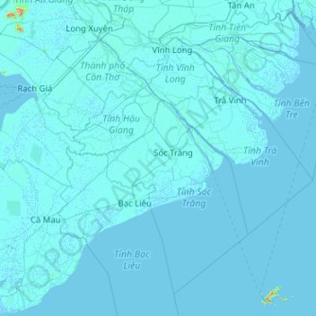
Name: Sóc Trăng topographic map, elevation, terrain.
Location: Sóc Trăng, Mỹ Tú District, Soc Trang province, Vietnam (8.56644 104.87644 10.56644 106.87644)
Average elevation: 2 m
Minimum elevation: -3 m
Maximum elevation: 670 m