
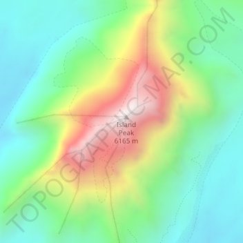
Island Peak topographic map
Interactive map
Click on the map to display elevation.
About this map
Name: Island Peak topographic map, elevation, terrain.
Average elevation: 5,461 m
Minimum elevation: 5,108 m
Maximum elevation: 6,131 m
Other topographic maps
Click on a map to view its topography, its elevation and its terrain.
Mount Lhotse
Mount Lhotse, Tingri County, Shigatse, Tibet, China
Average elevation: 7,375 m