
Clear Lake topographic map
Interactive map
Click on the map to display elevation.
About this map
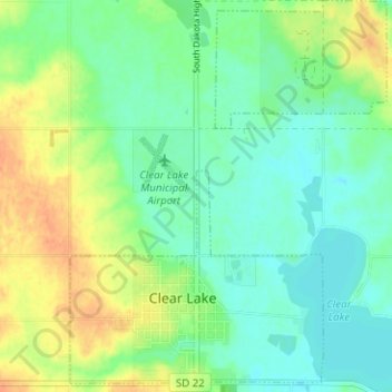
Name: Clear Lake topographic map, elevation, terrain.
Location: Clear Lake, Deuel County, South Dakota, 57226, USA (44.74563 -96.70294 44.79033 -96.65204)
Average elevation: 553 m
Minimum elevation: 539 m
Maximum elevation: 576 m