
Castle Eden Dene National Nature Reserve topographic map
Interactive map
Click on the map to display elevation.
About this map
Name: Castle Eden Dene National Nature Reserve topographic map, elevation, terrain.
Average elevation: 104 m
Minimum elevation: 32 m
Maximum elevation: 149 m
Other topographic maps
Click on a map to view its topography, its elevation and its terrain.
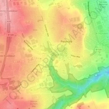
Peterlee
United Kingdom > England > Peterlee
Peterlee, County Durham, North East England, England, SR8 5PX, United Kingdom
Average elevation: 83 m