
Shenandoah topographic map
Interactive map
Click on the map to display elevation.
About this map
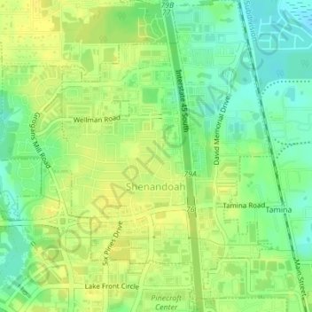
Name: Shenandoah topographic map, elevation, terrain.
Location: Shenandoah, Montgomery County, Texas, 77384-5317, USA (30.16826 -95.47356 30.19803 -95.44290)
Average elevation: 44 m
Minimum elevation: 32 m
Maximum elevation: 52 m