
Aalsmeer topographic map
Interactive map
Click on the map to display elevation.
About this map
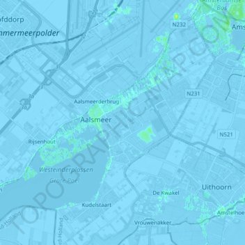
Name: Aalsmeer topographic map, elevation, terrain.
Location: Aalsmeer, North Holland, Netherlands (52.22593 4.67029 52.30578 4.82386)
Average elevation: -2 m
Minimum elevation: -8 m
Maximum elevation: 11 m
Other topographic maps
Click on a map to view its topography, its elevation and its terrain.
Westeinder Plassen
Netherlands > North Holland > Aalsmeer
Westeinder Plassen, Vrije aanleg, Aalsmeer, North Holland, Netherlands, 1431AG, Netherlands
Average elevation: -2 m