
Fatoto topographic map
Interactive map
Click on the map to display elevation.
About this map
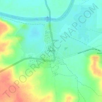
Name: Fatoto topographic map, elevation, terrain.
Location: Fatoto, Kantora, Basse, Upper River, The Gambia (13.39251 -13.89447 13.40578 -13.88782)
Average elevation: 23 m
Minimum elevation: 3 m
Maximum elevation: 55 m