
Engelbert topographic map
Interactive map
Click on the map to display elevation.
About this map
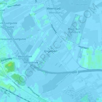
Name: Engelbert topographic map, elevation, terrain.
Location: Engelbert, Groningen, Nederland, 9723, Nederland (53.18807 6.62768 53.22807 6.66768)
Average elevation: 0 m
Minimum elevation: -6 m
Maximum elevation: 12 m