
Ghagra topographic map
Interactive map
Click on the map to display elevation.
About this map
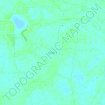
Name: Ghagra topographic map, elevation, terrain.
Location: Ghagra, Netrokona District, Mymensingh Division, Bangladesh (24.98648 90.56207 25.02648 90.60207)
Average elevation: 11 m
Minimum elevation: 7 m
Maximum elevation: 17 m
Other topographic maps
Click on a map to view its topography, its elevation and its terrain.
Ghagra
Bangladesh > Mymensingh Division > Ghagra
Ghagra, Mymensingh District, Mymensingh Division, Bangladesh
Average elevation: 14 m