
Hays topographic map
Interactive map
Click on the map to display elevation.
About this map
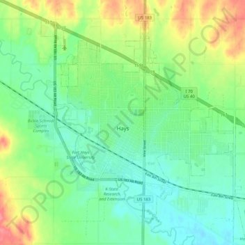
Name: Hays topographic map, elevation, terrain.
Location: Hays, Ellis County, Kansas, 67601, USA (38.84158 -99.36065 38.92042 -99.27552)
Average elevation: 624 m
Minimum elevation: 599 m
Maximum elevation: 671 m