
Cheswold topographic map
Interactive map
Click on the map to display elevation.
About this map
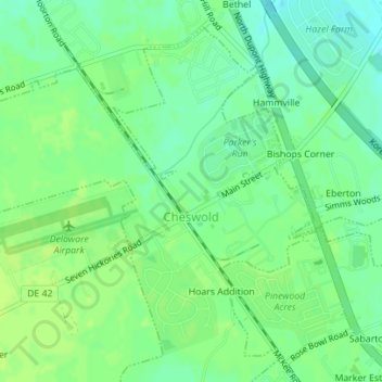
Name: Cheswold topographic map, elevation, terrain.
Location: Cheswold, Kent County, Delaware, United States (39.20945 -75.59291 39.23269 -75.57459)
Average elevation: 14 m
Minimum elevation: 6 m
Maximum elevation: 18 m