
Tajur topographic map
Interactive map
Click on the map to display elevation.
About this map
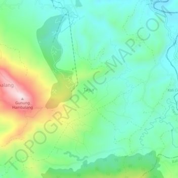
Name: Tajur topographic map, elevation, terrain.
Location: Tajur, West Java, 16810, Indonesia (-6.56728 106.89398 -6.52728 106.93398)
Average elevation: 294 m
Minimum elevation: 159 m
Maximum elevation: 611 m