
Mwera topographic map
Interactive map
Click on the map to display elevation.
About this map
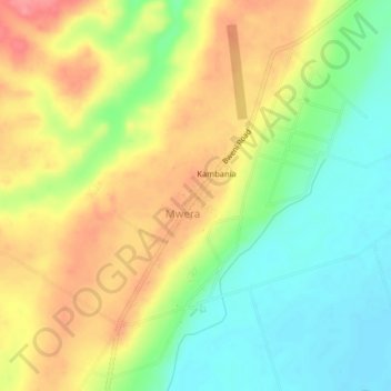
Name: Mwera topographic map, elevation, terrain.
Location: Mwera, Pangani, Tanga, Northern Zone, Tanzania (-5.50367 38.93100 -5.46367 38.97100)
Average elevation: 48 m
Minimum elevation: 8 m
Maximum elevation: 92 m