
Etal topographic map
Interactive map
Click on the map to display elevation.
About this map
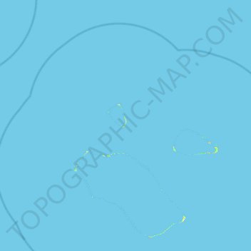
Name: Etal topographic map, elevation, terrain.
Location: Etal, Chuuk, Federated States of Micronesia (5.24806 153.26611 5.88806 153.90611)
Average elevation: 0 m
Minimum elevation: 0 m
Maximum elevation: 22 m
Other topographic maps
Click on a map to view its topography, its elevation and its terrain.
Ono Island
Federated States of Micronesia > Chuuk > Ono
Ono Island, Ono, Chuuk, Federated States of Micronesia
Average elevation: 0 m
Weno
Federated States of Micronesia > Chuuk
Weno, Chuuk, 96942, Federated States of Micronesia
Average elevation: 25 m