
Burh Nadi topographic map
Interactive map
Click on the map to display elevation.
About this map
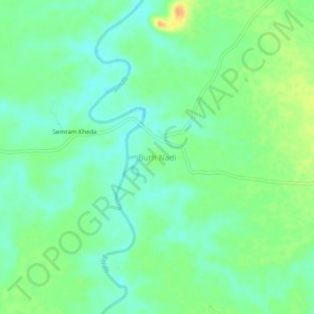
Name: Burh Nadi topographic map, elevation, terrain.
Location: Burh Nadi, Guna, Madhya Pradesh, India (24.34739 77.48797 24.38739 77.52797)
Average elevation: 492 m
Minimum elevation: 478 m
Maximum elevation: 515 m