
Middlesboro topographic map
Interactive map
Click on the map to display elevation.
About this map
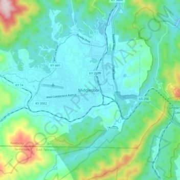
Name: Middlesboro topographic map, elevation, terrain.
Location: Middlesboro, Bell County, Kentucky, 40965, United States (36.56842 -83.75658 36.64842 -83.67658)
Average elevation: 449 m
Minimum elevation: 333 m
Maximum elevation: 895 m