
Tha topographic map
Interactive map
Click on the map to display elevation.
About this map
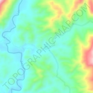
Name: Tha topographic map, elevation, terrain.
Location: Tha, Xayabury District, Sainyabuli Province, Laos (19.40873 101.60362 19.44873 101.64362)
Average elevation: 457 m
Minimum elevation: 348 m
Maximum elevation: 755 m