
Schin op Geul topographic map
Interactive map
Click on the map to display elevation.
About this map
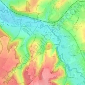
Name: Schin op Geul topographic map, elevation, terrain.
Location: Schin op Geul, Valkenburg aan de Geul, Limburg, Netherlands (50.83154 5.83934 50.86538 5.88801)
Average elevation: 115 m
Minimum elevation: 69 m
Maximum elevation: 171 m