
Castlecomer topographic map
Interactive map
Click on the map to display elevation.
About this map
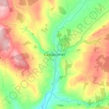
Name: Castlecomer topographic map, elevation, terrain.
Location: Castlecomer, County Kilkenny, Leinster, Ireland (52.76609 -7.25058 52.84609 -7.17058)
Average elevation: 184 m
Minimum elevation: 91 m
Maximum elevation: 300 m