
Arsal topographic map
Interactive map
Click on the map to display elevation.
About this map
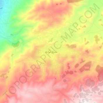
Name: Arsal topographic map, elevation, terrain.
Location: Arsal, Baalbek District, Baalbek-Hermel Governorate, Lebanon (34.14060 36.37951 34.22060 36.45951)
Average elevation: 1,492 m
Minimum elevation: 922 m
Maximum elevation: 1,892 m