
Telchac Pueblo topographic map
Interactive map
Click on the map to display elevation.
About this map
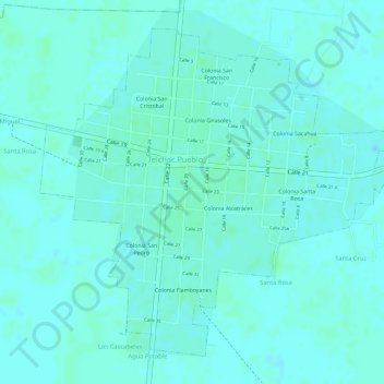
Name: Telchac Pueblo topographic map, elevation, terrain.
Location: Telchac Pueblo, Yucatán, México (21.18954 -89.28221 21.21259 -89.25559)
Average elevation: 7 m
Minimum elevation: 4 m
Maximum elevation: 9 m