
Port Hedland topographic map
Interactive map
Click on the map to display elevation.
About this map
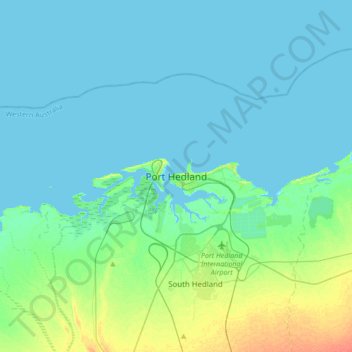
Name: Port Hedland topographic map, elevation, terrain.
Location: Port Hedland, Western Australia, 6721, Australia (-20.47118 118.42012 -20.15118 118.74012)
Average elevation: 6 m
Minimum elevation: -1 m
Maximum elevation: 34 m