
Wotton topographic map
Interactive map
Click on the map to display elevation.
About this map
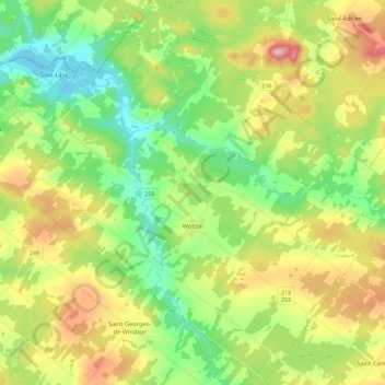
Name: Wotton topographic map, elevation, terrain.
Location: Wotton, Les Sources, Estrie, Quebec, J0A 1N0, Canada (45.67579 -71.90526 45.82631 -71.68671)
Average elevation: 266 m
Minimum elevation: 160 m
Maximum elevation: 444 m