
Sargodha topographic map
Interactive map
Click on the map to display elevation.
About this map
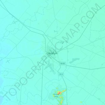
Name: Sargodha topographic map, elevation, terrain.
Average elevation: 188 m
Minimum elevation: 172 m
Maximum elevation: 483 m
Other topographic maps
Click on a map to view its topography, its elevation and its terrain.
Kirana
Pakistan > Punjab > Sargodha District
Kirana, Sargodha Tehsil, Sargodha District, Punjab, Pakistan
Average elevation: 221 m