
Burketon Station topographic map
Interactive map
Click on the map to display elevation.
About this map
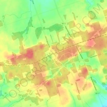
Name: Burketon Station topographic map, elevation, terrain.
Location: Burketon Station, Durham Region, Ontario, Canada (44.03558 -78.81480 44.07558 -78.77480)
Average elevation: 316 m
Minimum elevation: 280 m
Maximum elevation: 342 m