
Boaz Island topographic map
Interactive map
Click on the map to display elevation.
About this map
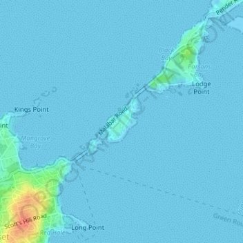
Name: Boaz Island topographic map, elevation, terrain.
Location: Boaz Island, Bermuda (32.30517 -64.85755 32.31269 -64.85006)
Average elevation: 2 m
Minimum elevation: -1 m
Maximum elevation: 43 m
Other topographic maps
Click on a map to view its topography, its elevation and its terrain.
Saint George's Island
Bermuda > Saint George's > Town of St. George
Saint George's Island, Town of St. George, Saint George's, Bermuda
Average elevation: 3 m
Bermuda
Bermuda > Devonshire > North Shore Village
Bermuda, North Shore Village, Devonshire, DV 04, Bermuda
Average elevation: 0 m
St. George's
Bermuda > Town of St. George > St. George's
St. George's, Town of St. George, GE 05, Bermuda
Average elevation: 1 m
Somerset
Bermuda > Somerset Island > Somerset
Somerset, Somerset Island, MA-05, Bermuda
Average elevation: 3 m