
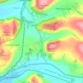
Capel Dewi topographic map
Interactive map
Click on the map to display elevation.
About this map
Name: Capel Dewi topographic map, elevation, terrain.
Location: Capel Dewi, Ceredigion, Wales, SY23 3HR, United Kingdom (52.40190 -4.03602 52.44190 -3.99602)
Average elevation: 63 m
Minimum elevation: 7 m
Maximum elevation: 160 m