
Fort Knox topographic map
Interactive map
Click on the map to display elevation.
About this map
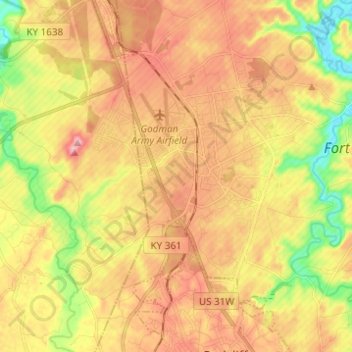
Name: Fort Knox topographic map, elevation, terrain.
Location: Fort Knox, Hardin County, Kentucky, 40121, United States (37.85546 -86.02713 37.92398 -85.90410)
Average elevation: 208 m
Minimum elevation: 130 m
Maximum elevation: 272 m