
Kutná Hora topographic map
Interactive map
Click on the map to display elevation.
About this map
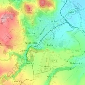
Name: Kutná Hora topographic map, elevation, terrain.
Average elevation: 264 m
Minimum elevation: 204 m
Maximum elevation: 359 m
Other topographic maps
Click on a map to view its topography, its elevation and its terrain.
Poličany
Czechia > Central Bohemia > Kutná Hora > Poličany
Poličany, Kutná Hora, okres Kutná Hora, Central Bohemia, 284 01, Czechia
Average elevation: 300 m