
West Liberty topographic map
Interactive map
Click on the map to display elevation.
About this map
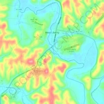
Name: West Liberty topographic map, elevation, terrain.
Location: West Liberty, Morgan County, Kentucky, United States (37.89231 -83.29402 37.93253 -83.23880)
Average elevation: 269 m
Minimum elevation: 226 m
Maximum elevation: 343 m