
Harrapool topographic map
Interactive map
Click on the map to display elevation.
About this map
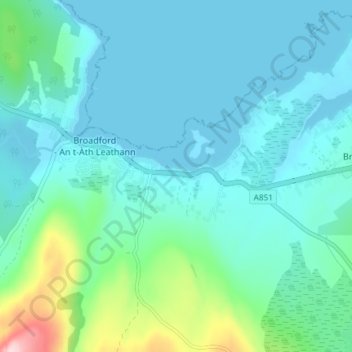
Name: Harrapool topographic map, elevation, terrain.
Average elevation: 43 m
Minimum elevation: -1 m
Maximum elevation: 263 m
Other topographic maps
Click on a map to view its topography, its elevation and its terrain.
Corry
United Kingdom > Scotland > Highland > Broadford
Corry, Broadford, Highland, Scotland, IV49 9AA, United Kingdom
Average elevation: 19 m