
Bango topographic map
Interactive map
Click on the map to display elevation.
About this map
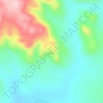
Name: Bango topographic map, elevation, terrain.
Location: Bango, Cuanza Sul, Angola (-11.08449 14.64429 -11.08439 14.64439)
Average elevation: 1,274 m
Minimum elevation: 1,191 m
Maximum elevation: 1,443 m
Other topographic maps
Click on a map to view its topography, its elevation and its terrain.