
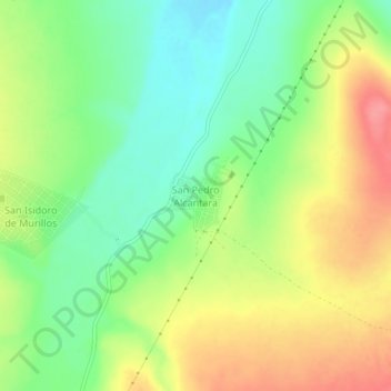
San Pedro Alcantara topographic map
Interactive map
Click on the map to display elevation.
About this map
Name: San Pedro Alcantara topographic map, elevation, terrain.
Location: San Pedro Alcantara, Vicente Guerrero, Durango, Mexico (23.65110 -104.04812 23.69110 -104.00812)
Average elevation: 1,969 m
Minimum elevation: 1,932 m
Maximum elevation: 2,014 m