
Sector 19 topographic map
Interactive map
Click on the map to display elevation.
About this map
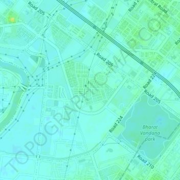
Name: Sector 19 topographic map, elevation, terrain.
Location: Sector 19, Dwarka, South West Delhi, Delhi, India (28.56632 77.03760 28.58759 77.05769)
Average elevation: 213 m
Minimum elevation: 209 m
Maximum elevation: 225 m
Other topographic maps
Click on a map to view its topography, its elevation and its terrain.
Dwarka District Court
Dwarka District Court, Sector 10, Dwarka, Dwarka Tehsil, South West Delhi, Delhi, India
Average elevation: 214 m