
Munda topographic map
Interactive map
Click on the map to display elevation.
About this map
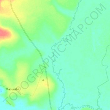
Name: Munda topographic map, elevation, terrain.
Location: Munda, Malanje, Angola (-10.52354 17.48758 -10.39842 17.52234)
Average elevation: 1,088 m
Minimum elevation: 1,076 m
Maximum elevation: 1,122 m