
الشبيكة topographic map
Interactive map
Click on the map to display elevation.
About this map
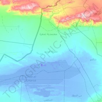
Name: الشبيكة topographic map, elevation, terrain.
Location: الشبيكة, تمغزة, Tozeur, Tunisia (34.05256 7.53026 34.37957 8.07864)
Average elevation: 109 m
Minimum elevation: -35 m
Maximum elevation: 899 m
Other topographic maps
Click on a map to view its topography, its elevation and its terrain.