
Gbao topographic map
Interactive map
Click on the map to display elevation.
About this map
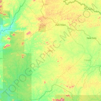
Name: Gbao topographic map, elevation, terrain.
Location: Gbao, Grand Gedeh County, Liberia (5.76010 -8.71454 6.37887 -8.26817)
Average elevation: 230 m
Minimum elevation: 121 m
Maximum elevation: 489 m
Other topographic maps
Click on a map to view its topography, its elevation and its terrain.
Block A
Liberia > Grand Gedeh County > Tchien
Block A, PTP Refugee Camp 3, Tchien, Grand Gedeh County, Liberia
Average elevation: 210 m
Block C
Block C, PTP Refugee Camp 3, Tchien, Grand Gedeh County, Liberia
Average elevation: 211 m