
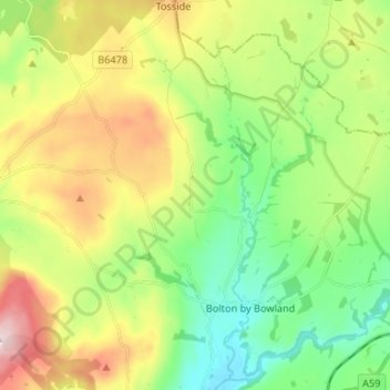
Bolton-by-Bowland topographic map
Interactive map
Click on the map to display elevation.
About this map
Name: Bolton-by-Bowland topographic map, elevation, terrain.
Average elevation: 193 m
Minimum elevation: 72 m
Maximum elevation: 394 m
England trails, hiking, mountain biking, running and outdoor activities
Other topographic maps
Click on a map to view its topography, its elevation and its terrain.
Bolton by Bowland
United Kingdom > England > Ribble Valley > Bolton by Bowland
Average elevation: 133 m