
Zamanabad topographic map
Interactive map
Click on the map to display elevation.
About this map
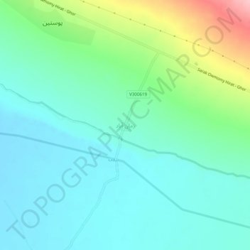
Name: Zamanabad topographic map, elevation, terrain.
Location: Zamanabad, Pashtun Zarghun, Herat, Afghanistan (34.26165 62.67494 34.30165 62.71494)
Average elevation: 1,106 m
Minimum elevation: 1,067 m
Maximum elevation: 1,227 m