
Greater Khingan Mountain Range topographic map
Interactive map
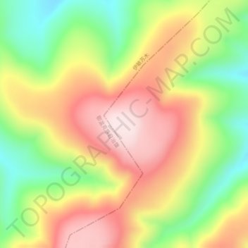
Click on the map to display elevation.
About this map
Name: Greater Khingan Mountain Range topographic map, elevation, terrain.
Average elevation: 1,514 m
Minimum elevation: 1,311 m
Maximum elevation: 1,710 m
Other topographic maps
Click on a map to view its topography, its elevation and its terrain.
Baotou
PRC > Inner Mongolia > Baotou
Baotou, Hondlon District, Baotou City, Inner Mongolia, 014000, PRC
Average elevation: 1,152 m
Erenhot
PRC > Inner Mongolia > Erenhot
Erenhot, Erenhot City, Xilingol League, Inner Mongolia, PRC
Average elevation: 959 m
Alxa Left Banner
PRC > Inner Mongolia > Alxa Left Banner
Alxa Left Banner, Alxa League, Inner Mongolia, PRC
Average elevation: 1,585 m
Nantaizi
PRC > Inner Mongolia > Nantaizi
Nantaizi, Harqin Banner, Chifeng City, Inner Mongolia, PRC
Average elevation: 1,068 m
Taiping Ling
Taiping Ling, Arxan City, Hinggan League, Inner Mongolia, PRC
Average elevation: 1,511 m