
Andover topographic map
Interactive map
Click on the map to display elevation.
About this map
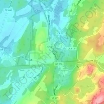
Name: Andover topographic map, elevation, terrain.
Location: Andover, Sussex County, New Jersey, United States (40.96871 -74.75136 41.00002 -74.73197)
Average elevation: 211 m
Minimum elevation: 171 m
Maximum elevation: 302 m