
Barnet topographic map
Interactive map
Click on the map to display elevation.
About this map
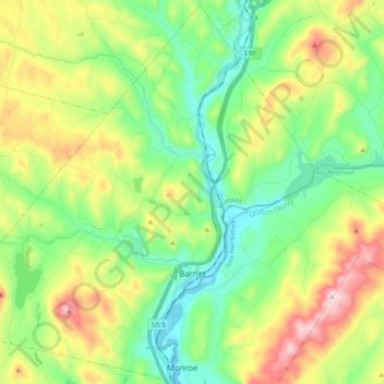
Name: Barnet topographic map, elevation, terrain.
Location: Barnet, Caledonia County, Vermont, USA (44.25659 -72.18756 44.39839 -71.98464)
Average elevation: 322 m
Minimum elevation: 129 m
Maximum elevation: 696 m