
Lundu topographic map
Interactive map
Click on the map to display elevation.
About this map
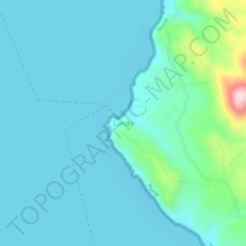
Name: Lundu topographic map, elevation, terrain.
Location: Lundu, Mbinga, Ruvuma, Southern Highlands Zone, Tanzania (-10.73042 34.63183 -10.69042 34.67183)
Average elevation: 515 m
Minimum elevation: 468 m
Maximum elevation: 797 m