
survey topographic map
Interactive map
Click on the map to display elevation.
About this map
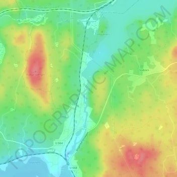
Name: survey topographic map, elevation, terrain.
Average elevation: 107 m
Minimum elevation: 76 m
Maximum elevation: 149 m
Other topographic maps
Click on a map to view its topography, its elevation and its terrain.
Västerås kommun
Västerås kommun, Västmanland County, Region Svealand, Sweden
Average elevation: 33 m
Kvicksund
Sweden > Västmanland County > Kvicksund
Kvicksund, Västerås kommun, Västmanland County, Region Svealand, 63531, Sweden
Average elevation: 6 m